Water, which covers two-thirds of Earth’s surface, is taken for granted all over the world, except perhaps in deserts where oases have always been important junctions on trade routes. In India it is customary to offer a glass of water to visitors regardless of economic and social status. But few comprehend that the ‘elixir of life’ has already become a scarce commodity and could soon turn out to be a challenge to international security, much more than petroleum. After all, water is critical for sustaining life on our planet and competition over it can easily lead to even conflicts.
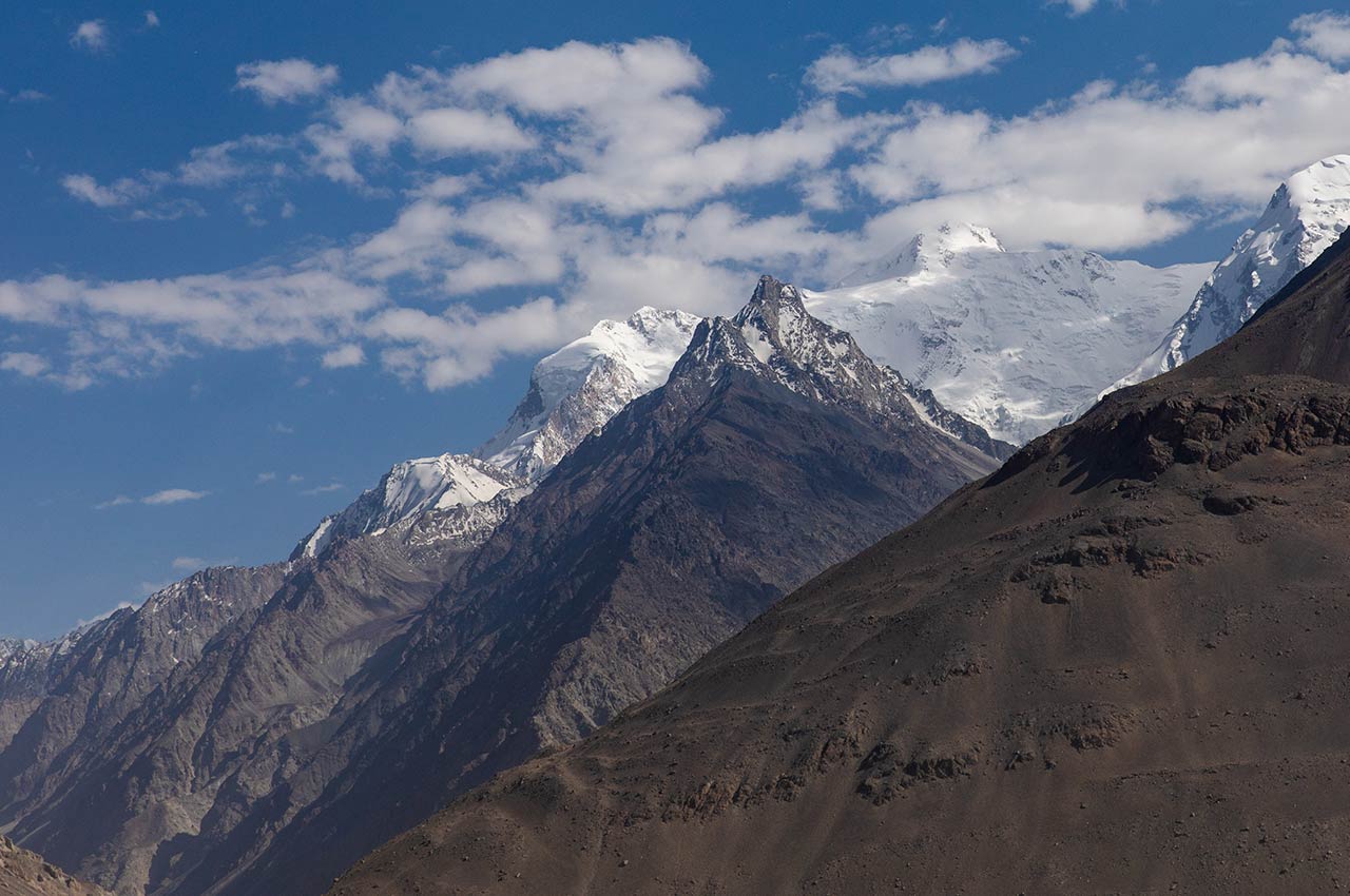
In Asia, however, the problem of water scarcity is of crucial importance, since it is home to more than a quarter of the global population. Asia is also the location of the world’s highest mountain chain—the Himalaya, which, like all mountain ranges, is the source of many life-sustaining rivers. In the Himalaya lie the origins of as many as 10 major rivers that flow down its spurs into South, East and Central Asia, and support the lives of at least two billion people who inhabit their basins. It is not for nothing that the Himalaya have been called the ‘Water Tower of Asia’.