At the Bharat Drone Mahotsav (drone festival) in May, Prime Minister Narendra Modi sent out a strong message for ushering in transformational change by making India the hub of drone manufacturing by 2030. By flying a drone himself, the PM probably tried to convey the message that these systems will become essential for business and social welfare in the future and India intends to become a key player in the international market.
The Drone Rules, 2021, which were notified in August last year, are intended to build an ecosystem and infrastructure that will enable Unmanned Aerial Systems (UASs)—popularly called drones—to rule the skies over Indian cities and villages. However, the idea of your pizza being delivered on the balcony of your apartment in a high-rise building by a quadcopter, however appealing it might be, isn’t happening anytime soon.
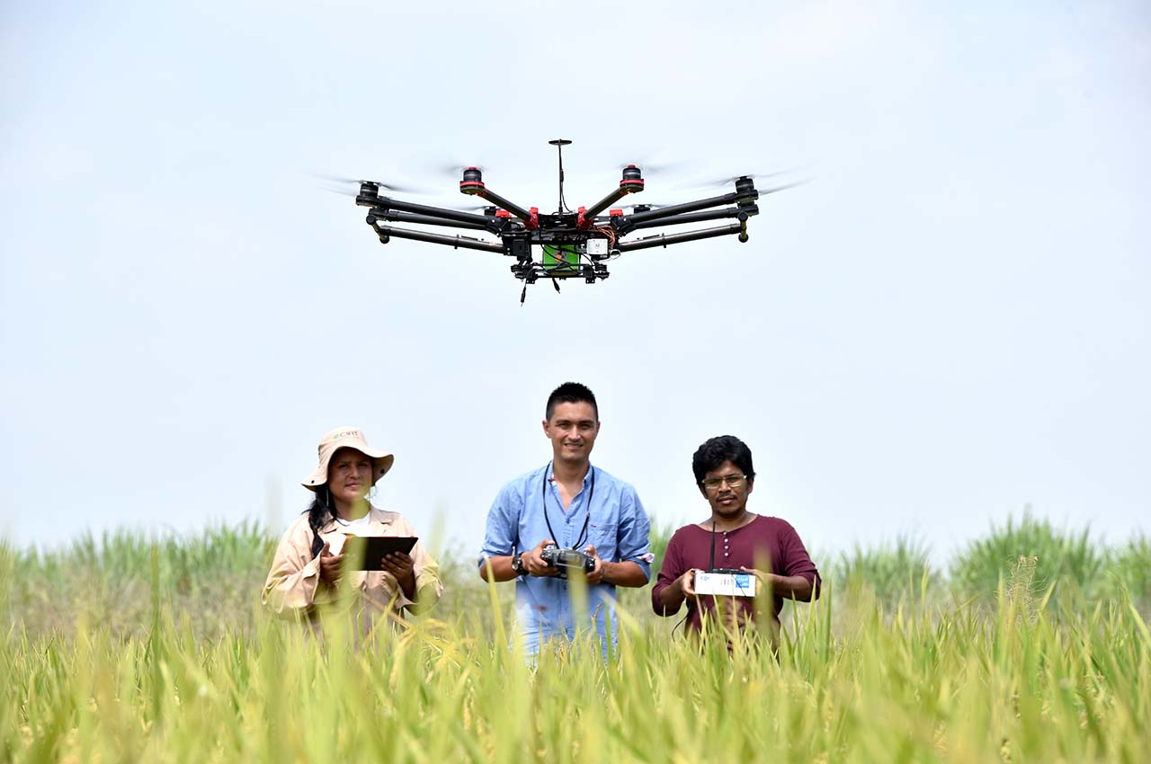
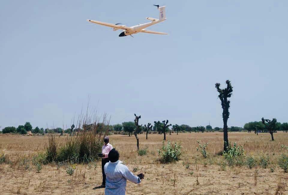
The reason is that India doesn’t have the detailed geographical mapping and infrastructure that are essential for precision delivery of cargo by aerial systems. At the same time, there is no denying that UASs have enormous potential for bringing profound socio-economic changes in a country like India, especially where the terrain poses accessibility challenges. For example, several pilot projects have been launched by state governments for “Medicine from the Sky” test runs in which drones will operate Beyond Visual Line of Sight (BVLOS).
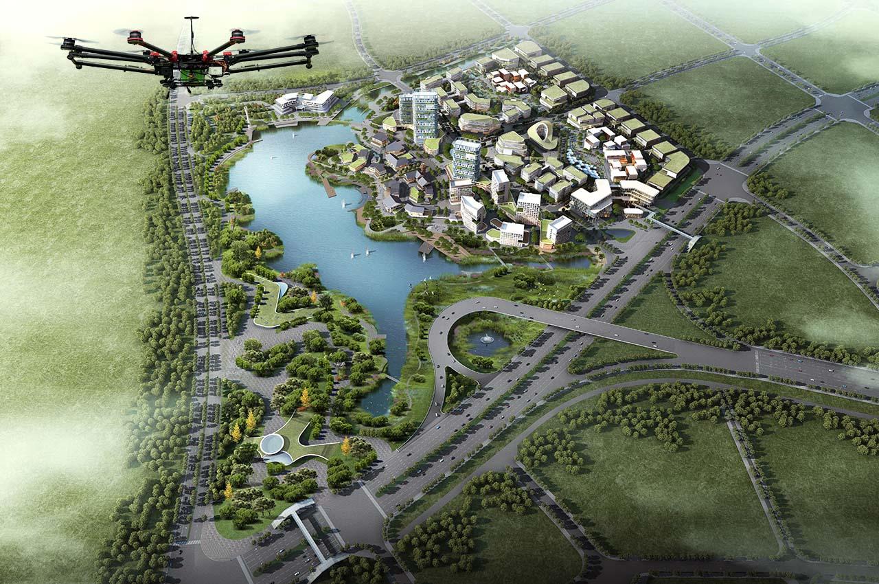
The key for utilising UASs for varied tasks is the availability of accurate 3D maps. Though India is still far from developing digital twins of its cities that capture real-time data, the Union Minister of State (Independent Charge) for Science and Technology, Jitender Singh, announced in February this year that the government will be undertaking development of 3D maps of 100 cities in partnership with private companies. Maps in a 3D format that capture accurate information about a city’s high-rise buildings, elevation changes, overhead obstacles and cables are essential for seamless UAS movement.
Ambitious Plans
The Indian government expects the annual turnover of the drone manufacturing sector to cross ₹900 crore and the drone services sector to exceed ₹30,000 crore in the next three years. The government also believes that the drone sector can generate more than five lakh jobs. Further, the government is investing ₹120 crore in the Production Linked Incentive (PLI) scheme for the drone manufacturing sector. With social welfare a priority, it is urging the industry to primarily focus on applications in the fields of agriculture and healthcare, besides military use. Spraying of nano urea, transportation of Covid-19 vaccines and rural surveying are some recent drone applications that have been piloted and evidence the government’s vision.
Pilot projects have been launched for “Medicine from the Sky” test runs in which drones will operate Beyond Visual Line of Sight. The key for utilising UASs for varied tasks is the availability of accurate 3D maps
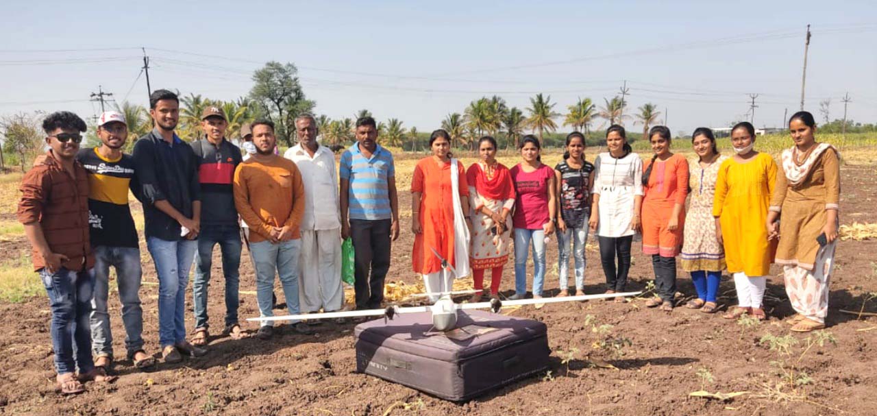
According to publicly available information, under the ambitious Survey of Villages Abadi and Mapping with Improved Technology in Village Areas (SVAMITVA) project, drone surveying of 1,55,313 villages has been completed and finished maps of 1,10,856 villages have been handed over to the states. This survey has helped to digitise 25.1 million land parcels based on which 39,422 land title cards have been prepared out of which 31,330 digital title cards have been distributed. The SVAMITVA project, launched under the Ministry of Panchayati Raj, is one of the biggest instances of drone mapping in the world. However, there are news reports highlighting land ownership disputes arising from faulty drone mapping of land parcels and subsequent issuing of title cards. Haryana, which has carried out the most extensive drone mapping of agricultural land, is dealing with the maximum number of disputes.
As technology evolves, drones will become more advanced and powerful, with longer flying time capabilities and heavier payload capacities. It is, therefore, important for the government and organisations to look at the scope of drone technology from a futuristic perspective and build the required infrastructure, keeping potential opportunities in mind. These machines are quite far removed from the most common perception that a drone is a mere quadcopter with four rotors that can perform certain simple tasks like taking aerial pictures and transporting small payloads within a defined visible operating range, using a handheld remote control.
Umbrella of Protection
The UASs that figure in India’s 2030 drone vision document in terms of commercial and other strategic usage are highly advanced devices, remotely controlled by mission stations, and can operate BVLOS, using geospatial tools like the Geographic Information System (GIS) and Global Positioning System (GPS). These UASs are capable of carrying an array of sophisticated instruments and sensors for performing a variety of complex tasks. The data acquired by the UASs is used to develop layers on base maps by utilising GIS tools, which can then be used for visualisation, modelling, simulation, navigation and extracting intelligence, to name a few applications. Today, the application of Artificial Intelligence (AI) and Machine Learning (ML) have considerably speeded up processing of huge volumes of raw data to provide more actionable intelligence in a relatively shorter period of time.
Unmanned Aerial Systems (UAS), often referred to collectively as drones, are fast becoming ubiquitous for the versatility they offer, which helps in performing a wide range of tasks at a fraction of the cost compared to conventional methods. In the battlefield, Unmanned Combat Aerial Vehicles (UCAVs) are changing the way wars are fought.
Types of Unmanned Aerial Vehicles
Quadcopter: Most common type.
Hexacopter: Has six motors and rotors and has higher payload capacity.
Octocopter: Has eight motors and rotors and can carry payloads up to 25 kg.
Fixed wing: Usually powered by a small internal combustion engine and can carry
sophisticated instruments, sensors, data-linking hardware, and combat equipment.
Most fixed-winged UAVs can stay airborne for long durations.
$102.38bn
The global UAV market, according to Precedence Research, is expected to grow from $22.68 billion in 2021 to over $100 billion by 2030 at a CAGR of 18.2% in the next eight years. The defence, agriculture, construction, cargo delivery, and security sectors are expected to be the primary growth drivers.
$1.8bn
Is the expected size of the Indian UAV market by 2026, which is projected to grow at a 14.1%, according to several market studies. Despite severe restrictions on the usage of UAVs, the Indian market was valued at $600 million in 2020. Last year, the Government of India brought in a new drone policy that is aimed at opening up the sector to domestic players
Military
- Reconnaissance and intelligence gathering
- Offensive (missiles, loitering munition)
- Target training
- Demining (aerial observation of mined areas)
Emergency Response & Disaster Relief
- Aerial survey and situational awareness
- Hazmat monitoring
- Search and rescue
- Emergency supply of relief material
- Delivering humanitarian aid
Agriculture
- Land parcel mapping
- Crop monitoring
- Spraying pesticides and insecticide
- Crop insurance surveys
- Crop inventory management
- Livestock monitoring
- Flood and fire detection
Conservation
- Wildlife and habitat monitoring
- Environmental hazard detection
- Forest fire and wildfire detection
- Migration monitoring
- Detection of wildlife criminals
- Monitoring the health of waterbodies
- Aerial and surface pollution detection
- Exploration of archaeological sites
Media & Communication
- Investigative journalism
- Live Broadcast
- Filming
- News photography & videography
- Outdoor advertising
Business & Commerce
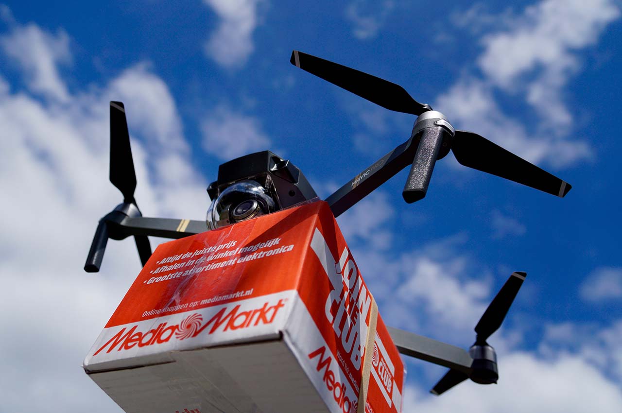
- Cargo and parcel delivery
- Medicine delivery
- Property survey for insurance
- Exploration of natural resources
Law & Order and Security
- Crowd monitoring at protest sites, large events, etc.
- General Surveillance
- Monitoring smuggling routes
- Security response
- Border patrol
- Convoy monitoring
- Monitoring protected cargo movement
- Crime scene investigation
- Monitoring urban fires
- Traffic flow monitoring
- Detecting illegal fishing
- Monitoring illegal dumping activities
- Anti-piracy
Urban Planning & Civil Infrastructure
- Situational awareness for town planning
- Traffic flow modelling
- Construction monitoring
- Inspection of power lines and pipelines
- Site Analysis
- Inspection of dams, bridges, reservoirs, ports, factories, etc.
- Waste Management
- Solar panel monitoring
While many countries have already attained significant levels of infrastructural capabilities, technologically advanced production capacities and policy openness in terms of usage of geospatial data for UAS operations, India still has some miles to go to realise its drone dreams. One of the reasons for India being late off the blocks is that in the past there were multiple, and often overlapping, rules governing the collection and use of geospatial data and they were implemented by multiple ministries. Most of the time, these multiple regulations worked at cross-purposes, creating barriers in terms of collecting, producing, sharing and updating Indian geospatial data. This in turn throttled the growth of the domestic drone sector, both in terms of manufacturing and application.
Finally, in February last year, the government released the Guidelines for Acquiring and Producing Geospatial Data and Geospatial Data Services, which has considerably freed the sector from volumes of red tape. But this is just an ad hoc step in the absence of a comprehensive National Geospatial Policy (NGP), which is still believed to be in the works along with the Indian Satellite Navigation Policy (SATNAV Policy). The ostensible aim of these policies is the democratisation of geospatial information, including maps and data.
Once these policies are implemented, they would also provide directional clarity to India’s drone project and unlock the real potential of UASs. But, as repeated past experience shows—as happened with the Drone Policy, 2021—the government fails to get the policy framework right when announcements are made. The drone policy was revised multiple times in a span of two years before it was given its current form.
Many countries have already attained significant levels of infrastructural capabilities, technologically advanced production capacities and policy openness for usage of geospatial data for UAS operations
“The Indian government has undertaken wide-ranging measures to deepen the reach of geospatial services for all-around development,” says Sanjay Kumar, CEO, Geospatial World. “We have liberalised policies related to geospatial data to bring a positive transformation in the life of the common man with the help of technology and facilitate the development of Indian geospatial innovations to empower small businesses.” The government has taken several steps to open up the geospatial segment, especially to support the domestic drone sector.
Mapping of India’s terrain has been liberalised and airspace maps have been published on the DigitalSky portal that identifies red (restricted), yellow (semi-restricted) and free-to-fly zones for commercial drones. Also, manufacturing of drones in India has been incentivised with sops being extended to domestic manufacturers, while the import of complete, semi-built and knocked down kits of drones have been banned with the intent of giving the nascent domestic manufacturing industry protection from foreign competition. Though import of components that are used for manufacturing UASs are on the “free” list of the Director General of Foreign Trade (DGFT), the import ban clearly harks back to the era of protectionism prior to liberalisation in 1991, which didn’t do much good for the sheltered Indian manufacturing sector.
Experts Upbeat
Geospatial experts, however, think otherwise. “India’s efforts emphasise unlocking immense opportunities for start-ups and entrepreneurs by promoting research in the creation of digital public goods and this will open new avenues for location-based services and create huge employment opportunities for our youth,” says Kumar. Despite the incentives, approvals and policy streamlining, impediments still exist in policy matters—whether related to adequate capacity for speedy implementation of technology for building geospatial infrastructure or indigenous manufacturing or operation of drones and other services.
SNAPSHOT OF THE INDIAN UAS SECTOR
- The GOI has decided that mobile mapping survey, street view surveys and surveying in Indian territorial waters shall be permitted only for Indian entities.
- The existing policy could lead to time loss since India needs to develop indigenous R&D capacities, hardware and software.
- Most Indian companies do not have the capacity to produce high-quality drones.
- Geospatial infrastructure is still inadequate to support accurate drone operations in the absence of high-quality, real-time and accurate images.
- Land-based navigational assistance (CORS network) for better accuracy of drones needs to be developed fast to achieve operating capability.
- Lack of 3D maps of metros and big cities with accurate elevation data is a big hurdle for drone operations as most cities now have multi-storeyed buildings, high-rise structures, pillars and overhead cable networks.
- Development of indigenous technology to map cities with latest 3D data could take time due to restrictions on foreign players.
The government has allowed Indian entities to carry out aerial and mobile mapping surveys, street view surveys, and surveying in Indian territorial waters up to spatial accuracy threshold of one metre, but for finer accuracy of below the threshold value, the data needs to be physically stored and processed in India. However, not many Indian companies have the capability to deliver high-quality spatially accurate maps immediately.
For precision UAS operations, highly accurate maps are a prerequisite. It would require investments in R&D and time for Indian companies to develop indigenous software, hardware, and capacity. “Geospatial infrastructure is still inadequate to support accurate drone operations in the absence of high-quality, real-time accurate images. For decades, India has been dependent upon external agencies for geospatial data procurement, but now we are moving in the right direction,” asserts Lt General Girish Kumar, adviser, Ministry of External Affairs, and former Surveyor General of India.
A reliable land-based navigational assistance system for better operation and accuracy is being implemented. Once this system becomes operational, it will benefit UAS operations in India. “Positional and navigational infrastructure has to be the foremost element in the strategy. In this regard, the country has already undertaken steps in the form of establishing a CORS (Continuous Operating Reference Station) network,” he says. CORS consists of land-based mobile tower-like units that are connected to a base station which help in determining positions in real time. CORS communicate with sensors embedded in the navigation package in UASs and can accurately identify locations within seconds. In India, the CORS project is being implemented by the Survey of India.
Reality Check
However, the big question is will the proposed number of CORS units that will be set up be adequate to provide countrywide coverage where drone services might be most needed? According to the proposal submitted by the Survey of India the total number of CORS units will be 505 across the country, while the number of localised CORS units will be 289. For comparison, a small country like Japan has over 12,000 CORS units. For Near Real Time-Kinematic (NRTK) service with an accuracy of three cm, the subscription charge will be ₹5,000 per month per user.
Apart from reliable and assured connectivity, accurate 3D maps with precise elevation data would smoothen drone operation as most cities now have multi-storeyed buildings and overhead structures such as elevated roads, mobile towers, tanks and the like. If not mapped accurately and integrated in the drone operational support infrastructure, this could lead to accidents.
“The availability of real-time or near real-time data is changing the game and acting as a catalyst for the development of the fourth industrial revolution that is changing the way people work and lead their lives,” says Vishal Anand, senior vice-president, sales, Esri India. Esri provides end-to-end GIS software and solutions. Anand also emphasises, “Data not analysed correctly is not valuable.”
Though it is welcome that India has woken up to the potential of the commercial drone market, to become a significant player, leave aside from becoming a global manufacturing hub, it has a lot of catching up to do. China is the global leader in the manufacture and export of commercial UASs because it started developing the sector in 2005, which also led to the development of the component industry. At present, Indian manufacturers rely on imports for all critical components like chip sets, batteries, brushless DC motors, rotors and so on. Most Indian manufacturers are essentially running an assembly operation. To become a global hub, the component industry too needs to be developed ground up. It’s a long haul ahead for the Indian commercial drone manufacturing sector to come of age.