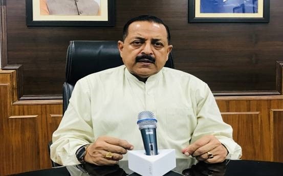
Union Minister of State (Independent Charge) for Personnel, Public Grievances and Pensions Mr. Jitendra Singh said the new portal under Bhuvan ‘Yuktdhara’ will facilitate planning of new MGNREGA assets using remote sensing and GIS based information. The Minister said that this platform will serve as a repository of assets (geotags) created under various national rural development programmes i.e. MGNREGA, Integrated Watershed Management Programme, Per Drop More Crop and Rashtriya Krishi Vikas Yojana etc., along with field photographs.
Speaking at the launch of “Yuktdhara” Geospatial Planning Portal by Union Minister of Rural Development & Panchayati Raj, Shri Giriraj Singh, Dr. Singh said that the name given is very apt as word ‘Yukt’ is derived from Yojanam, the planning and ‘Dhara’ indicates the flow. He said that it is definitely a culmination of untiring joint efforts of ISRO and Ministry of Rural development made towards realising a G2G service for rural planning in support of decentralized decision making.
Dr. Singh acknowledged the potential and services of ISRO’s Geoportal Bhuvan and said highlighted that due to its rich information base, satellite images and analytical capabilities, Bhuvan, in fact, has become a de-facto geospatial platform for a number of developmental planning activities in the country.
The Minister said the high point is that, this portal integrates a wide variety of thematic layers, multi-temporal high resolution earth observation data with analysis tools. Plans prepared will be evaluated by appropriate authorities under state departments. Thus, Yuktdhara based plans will be prepared by grassroot functionary and verified by appropriate authorities for relevance and resource allocation. This would ensure the quality of a plan and enable a long term monitoring of the assets created over the years.
The Minister pointed out that GeoMGNREGA on Bhuvan has received wide acclaims. The Before-during-after geotagging of assets has successfully implemented the progress based disbursement of the funds during the process of creation of rural assets. Also, a citizen-centric mobile application JANMANREGA has helped rural population for providing feedback using Bhuvan services. He was of the view that the synergy of geographic information and earth observation technology has not only brought the value of location to each rural asset, but also brought in unprecedented transparency in MGNREGA programme.
Dr. Singh said that the Customisation on Bhuvan as per process requirement of Ministry of Rural Development, continuous handholding of State functionaries and also enthusiasm demonstrated by state department personnel in adopting the technology for building GeoMGNREGA database is noteworthy and is a first of its kind massive exercise in the whole world.