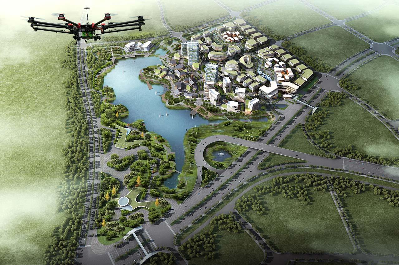
India’s geospatial economy is expected to cross Rs 63,000 crore by 2025 at a growth rate of 12.8% and to provide employment to more than 10 lakh people mainly through Geospatial Start-Ups. This was stated by Union Minister for Science and Technology and Ministry of Earth Sciences, Jitendra Singh while addressing the Second United Nations World Geospatial Information Congress (UN-WGIC) 2022 in Hyderabad.
The five-day conference is being attended by over 2,000 delegates including 700 plus international delegates and participants from about 150 countries. Moreover, National Mapping Agencies (NMAs) like the Survey of India, which has a history of 255 years, senior officials, non-governmental organizations, academia, and industry, user, & private sector from across the globe are taking part in the Geospatial Congress.
Singh said that in the current boom of technology-led start-ups, there are around 250 Geospatial start-ups in India and to give further boost to this sector. The minister also unveiled a Geospatial Incubator at the Congress.
He pointed out that the national organisations like Survey of India, Geological Survey of India, National Atlas and Thematic Mapping Organization (NATMO), Indian Space Research Organisation (ISRO) and National Informatics Centre implemented several GIS-based pilot projects across a range of domains like waste resource management, forestry, urban planning, etc. to demonstrate the applications of geospatial technology.
The minister highlighted how the government, industry, researchers, academia, and civil society are coming together to establish quality geospatial ecosystem to build key solutions. He said, democratisation of Indian geospatial ecosystem will spur domestic innovation and enable Indian companies to compete in the global mapping ecosystem by leveraging modern geospatial technologies.
Geographic Information System (GIS) is going to make a significant impact in the way India has been adopting this technology and moving ahead. The minister added that even though geospatial technologies have been produced, used, and managed in the country for over five decades now, the liberalisation of the sector last year will lead to democratisation, advocacy, and integration of this sector and spur economic development.
Singh pointed out that the Rural Development Ministry has mapped over 45 lakh km of rural roads by using 21 data layers of the map, which has digitised information regarding water bodies, green areas, plots, and other structures essential for administrative purposes. He also informed that nearly 2.6 lakh gram panchayat had been covered by the ministry under the scheme of mapping and digitisation. Evolving technologies in this sector have the potential to bring transformational change.

