Union Minister of State (Independent Charge) Science & Technology and Earth Sciences Dr. Jitendra Singh said the latest state-of-the-art technology is being employed by the Council of Scientific & Industrial Research (CSIR) for mapping groundwater sources in arid regions and thus help utilize groundwater for drinking to supplement ‘Har Ghar Nal Se Jal’ scheme.
The Minister informed that the CSIR, along with National Geophysical Research Institute NGRI, have undertaken high-resolution aquifer mapping & management in arid regions of North-Western India to augment the groundwater resources. The Heli-borne geophysical mapping technique of CSIR-NGRI provides a high-resolution 3D image of the sub-surface up to a depth of 500 meters below the ground.
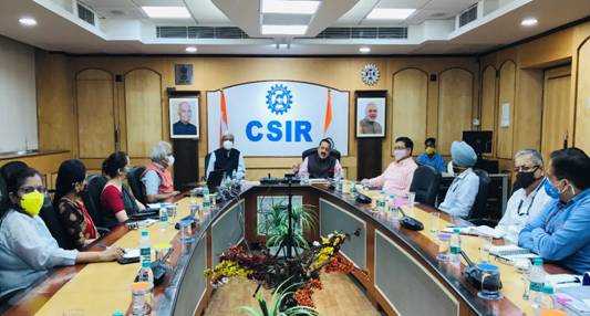
At a meeting of the CSIR attended by Prof K.VijayRaghavan, Principal Scientific Advisor, Dr.Shekhar Mande DG, CSIR, and other Chief Scientists, Dr. Singh said that the Ministry of Jal Shakti, Govt. of India has entrusted the responsibility to CSIR-NGRI for mapping ground-water sources in arid regions.
Referring to Prime Minister’s 75th Independence Day speech, where he said that in just two years of the Jal Jeevan Mission, more than four and a half crore families have started getting water from taps, Dr Jitendra Singh said that Government is promoting Science and Technology (S&T) with emphasis on emerging areas and their application for bringing “Ease of Living” for common man.
Dr. Jitendra Singh said that arid areas in north-western India spread over parts of states of Rajasthan, Gujarat, Haryana, and Punjab cover nearly 12 percent of the total geographical area of the country and is home to more than 8 crore people. He said this technique is cost-effective, precise, and is useful to map large areas (districts/states) within a short time to map the vast extent of groundwater resources in arid regions of our country. The entire work will be completed by 2025 with more than 1.5 lakh square kilometers of area with an estimated cost of Rs. 141 crores.